
Nabidhang
The principal Indian-side viewpoint associated with the natural Om formation on the mountain.
04 · A natural sacred sign
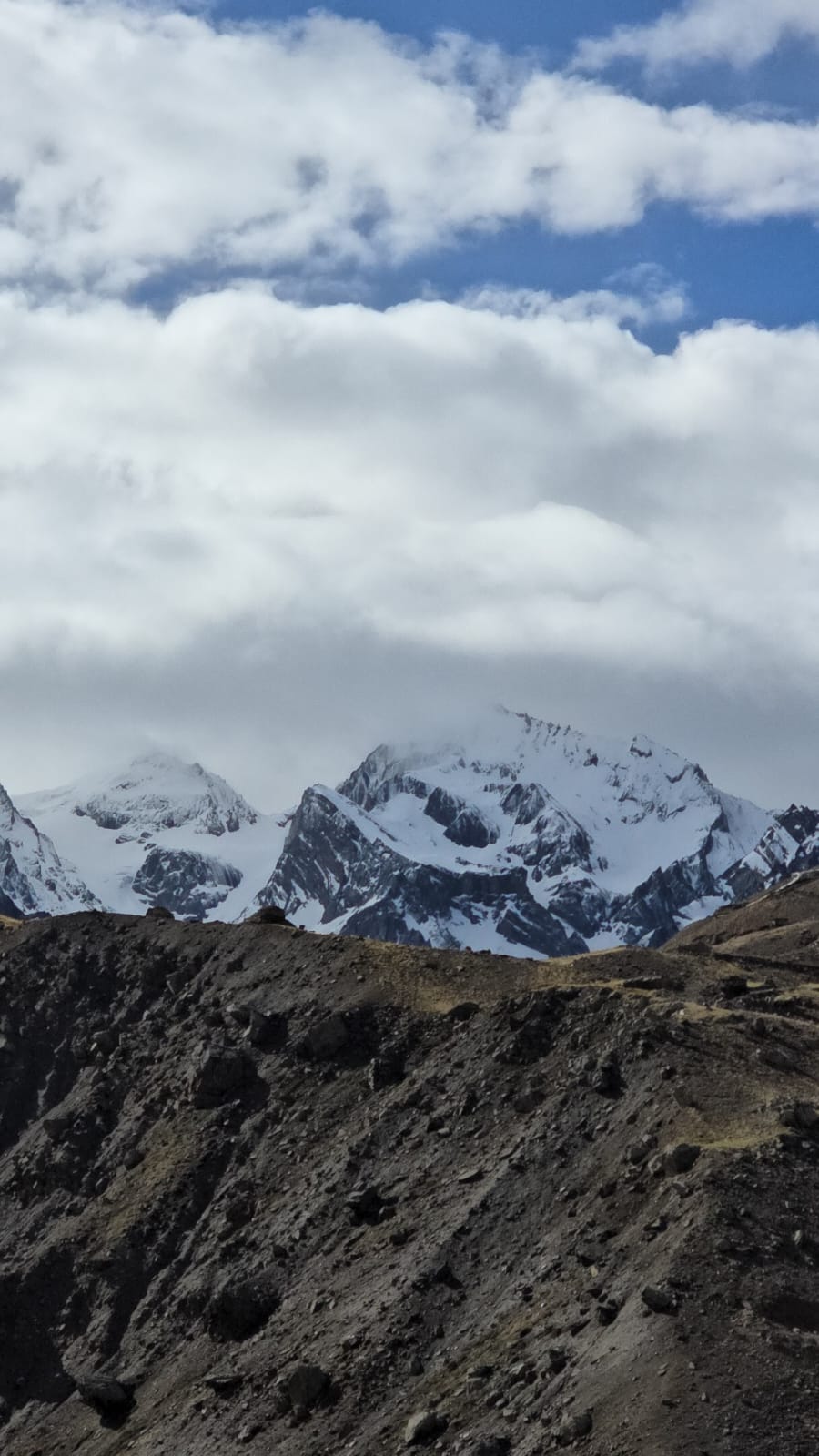
A dark Himalayan face where snow forms the shape of Om, seen from the high route near Nabidhang.
 Nabidhang view · DHURA guide
The short story
Om Parvat is known for the natural snow pattern on its dark rock face that resembles the sacred Om symbol.
The mountain is viewed from the Nabidhang side of the old Kailash route, beyond Dharchula and the high settlements around Gunji. Its meaning comes not only from the shape but from the scale and silence of the border Himalaya around it.
Visibility depends on weather and snow. Access also depends on current official rules, road conditions and high-altitude safety requirements.
These places help tell the story of the journey. DHURA will confirm the exact sequence after the latest access and permit process is verified.
The principal Indian-side viewpoint associated with the natural Om formation on the mountain.
A high-altitude stop on the traditional route, surrounded by the stark landscapes of the upper Kali valley.
A key route junction and settlement used on journeys towards both Om Parvat and Adi Kailash.
A culturally important high village on the neighbouring Kuti valley route, often part of broader journeys through the region.
The practical base town on the Kali River where travel documents, logistics and the mountain route come together.
River gorges, old villages and changing alpine terrain make the approach part of the experience, not simply a transfer.
The Pithoragarh District ILP portal states that an Inner Line Permit is mandatory beyond Chiyalekh. This applies to travellers continuing on the high route towards the Om Parvat viewing side.
Apply through the official district portal before travel and carry the approved permit with valid identification on the journey.
Official ILP portal →The district tourism page identifies Nabidhang as the Indian-side viewing location associated with the natural Om formation.
Road status, weather, visibility, accommodation and high-altitude preparation must be checked again shortly before departure.
Journey in development
Current access, permits, transport, acclimatisation, stays, duration and prices are being researched.