
Laspa Trail (Bankatiya Trek)
A lesser-known high-valley route from Laspa towards the Bankatiya side, passing forest and alpine landscapes. Access, trail conditions and local guide support will be verified before it is offered.
02 · An old road north
A Gori Ganga valley shaped by high villages, glacier trails and memories of trade with Tibet.
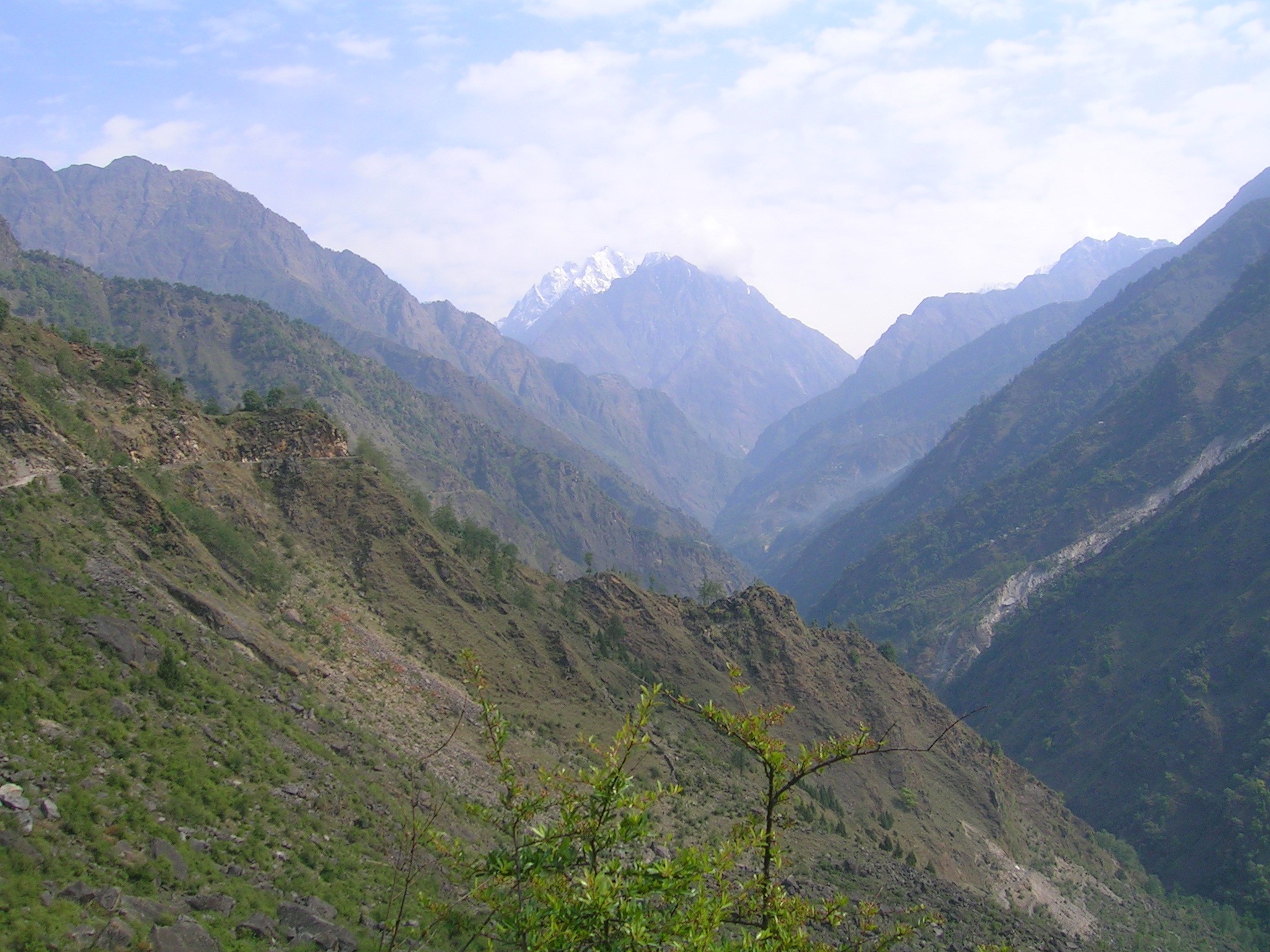 7,218–11,483 ft · L. Shyamal, CC BY-SA 3.0
The short story
Johar was once a busy trans-Himalayan corridor where Shauka traders moved between Kumaon and Tibet.
The route rises from Munsyari along the Gori Ganga, passing forest, narrow gorges and summer villages before reaching Martoli, Burfu and Milam. The valley’s stone homes and old paths still carry the feeling of that trading world.
It is not a single sightseeing stop but a layered journey best understood slowly, with local guidance and enough time for altitude and weather.
These places form the story of Johar. Final trekking access, village stays and permit requirements will be checked before any DHURA journey is offered.
A lesser-known high-valley route from Laspa towards the Bankatiya side, passing forest and alpine landscapes. Access, trail conditions and local guide support will be verified before it is offered.
A historic high village on the old trade trail, remembered for stone architecture and its position above the Gori Ganga route.
Once one of the largest trading settlements of upper Johar and now a powerful place to understand the valley’s seasonal life.
The glacier beyond Milam village is reached on a long trek from Munsyari and requires fitness, acclimatisation and verified local support.
The river binds the journey together as the route climbs through Lilam, Bogudiyar, Rilkote, Burfu and the upper valley.
Traditional homes, wool work and the living memory of the Shauka trading community give Johar its distinctive cultural depth.
Johar is approached from Munsyari. The district currently publishes a 59 km trekking route to Milam Glacier, but it does not publish one universal permit rule for every upper-valley journey.
Official route information starts the Milam journey at Munsyari and continues through Lilam, Bagudiyar, Rilkote, Burfu and Milam.
Local administration, forest requirements, village access and any restricted-area permission must be confirmed for the exact route and travel dates.
Use a verified local guide and reconfirm trail or road status, accommodation, altitude planning and seasonal conditions before departure.
Official Milam route →Journey in development
Village stays, guides, route safety, permits, acclimatisation, duration and prices are being researched.